
Emergency management UAV solution
For emergency management departments and production safety supervision agencies: link the three tasks — "daily inspection + disaster prevention + emergency response plan" — into a single unattended aerial system.
Solution Architecture: Four Positions, One System
Regardless of whether the asset is a mine, an industrial park, or a watershed, the system comprises four position types. Different missions simply swap platforms and payloads; there is no need to build a separate system for each business line.
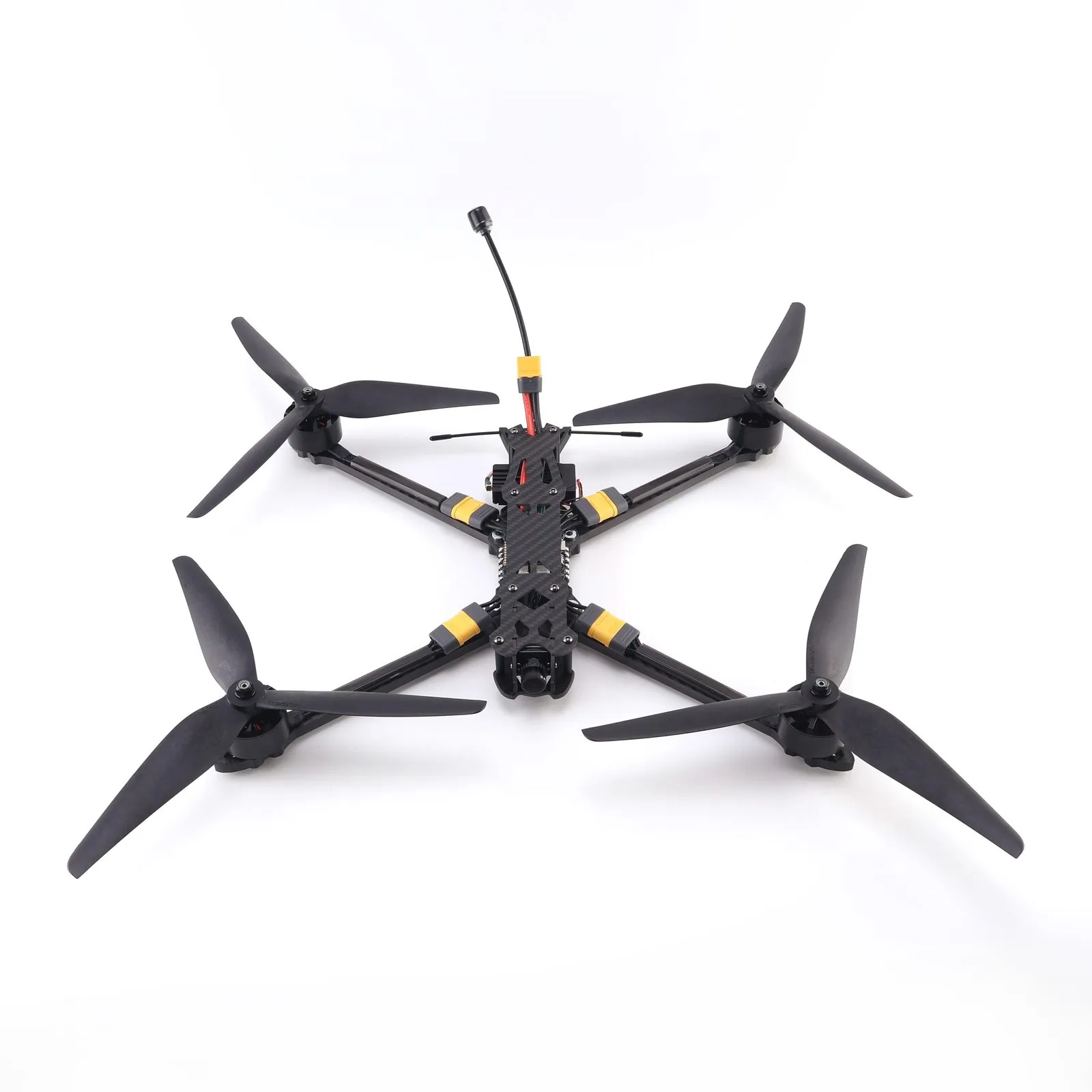
FPV Reconnaissance UAV
Lightweight, portable by a single operator, rapid deployment. Used for immediate close-range observation and on-site evidence collection.
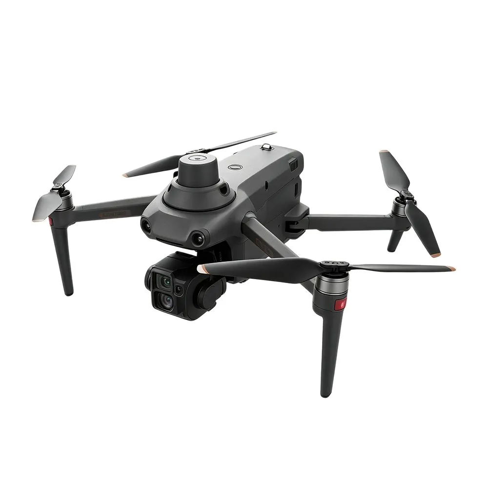
S220
Professional-grade AI industrial drone. The main model for daily inspections, balancing portability and operational capability.
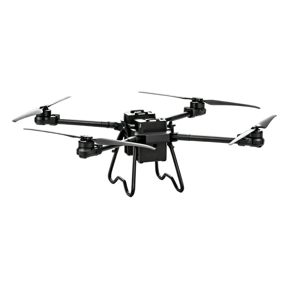
TS100 Cargo UAV
Maximum payload 100kg, 30KM video link. For material delivery and in-flight handling.
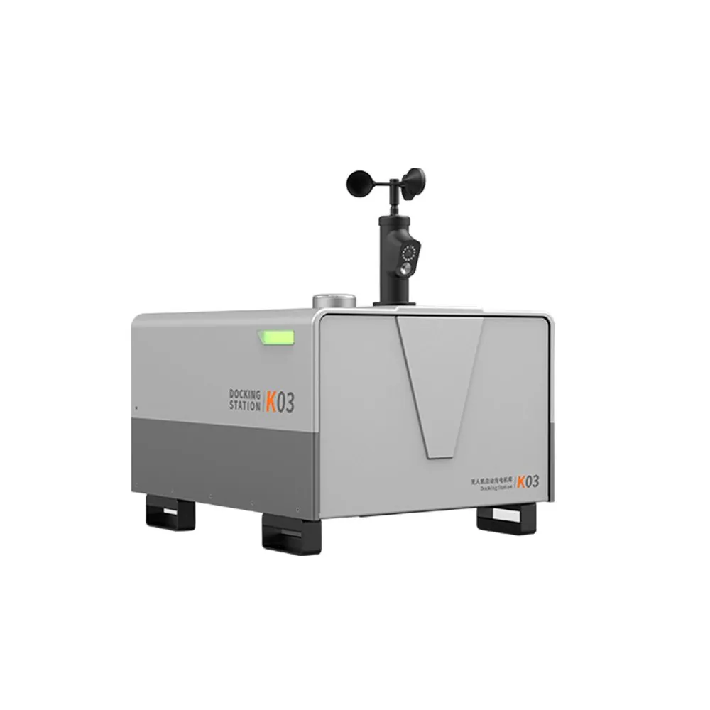
K03 Automatic Charging Hangar
Empty weight only 50kg, supports solar power, automatic takeoff/landing and charging, for grid-based routine patrol.
Daily: Production Safety Supervision
Regulatory priorities differ across the four venue categories, but they share common characteristics: large area, remote location, and incomplete coverage by manual inspections.
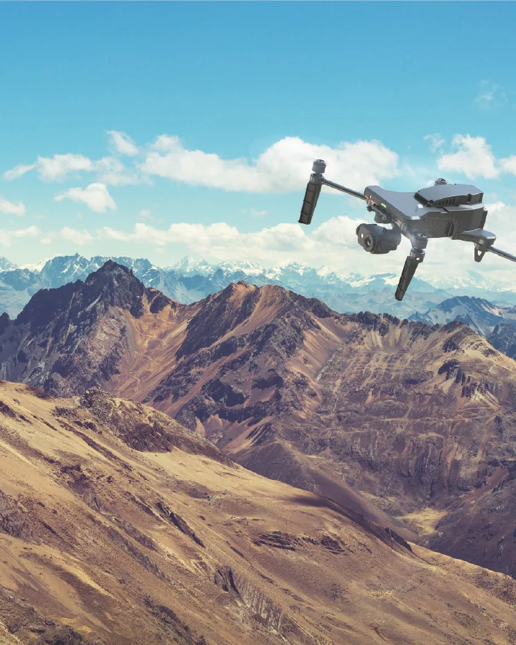
Open-pit mine
Main risks: Construction not in accordance with design · Illegal construction and mining · Tailings environmental risks
What makes traditional patrols difficult: large mining areas and harsh working environments, inspections themselves affect production; lack of technical means to monitor the mining process and tailings ponds.
- Routine equipment inspection—— Scheduled automatic patrol along predefined flight routes
- Mining process monitoring—— Multi-temporal image comparison to track mining progress
- Slope hazard analysis—— 3D model overlay to identify deformation and collapse risks
- Tailings risk supervision—— Periodic fixed-point dam-body photography to generate high-resolution models
- 3D data applications—— Surveying, volume calculation, drawing comparison
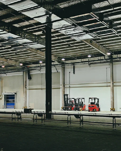
Factory park
Main risks: High risk in storage and transport of hazardous chemicals · Equipment aging and failure · Non-compliance with safety production requirements
What makes traditional patrols difficult: lengthy and intensive inspection processes, high risk in hazardous chemical areas; 24/7 continuous production makes it hard for personnel to ensure timeliness.
- High-altitude equipment inspection—— Replace manual climbing, reduce risk exposure
- Pipeline dual-optical inspection—— Synchronous monitoring of pipeline status using visible light and infrared
- Infrared temperature measurement and flaw detection—— Detection of abnormal high-temperature points
- Gas leak monitoring—— Payload: gas detection module for along-route sampling
- Smoke and fire detection—— Recognition algorithm configurable after local background calibration
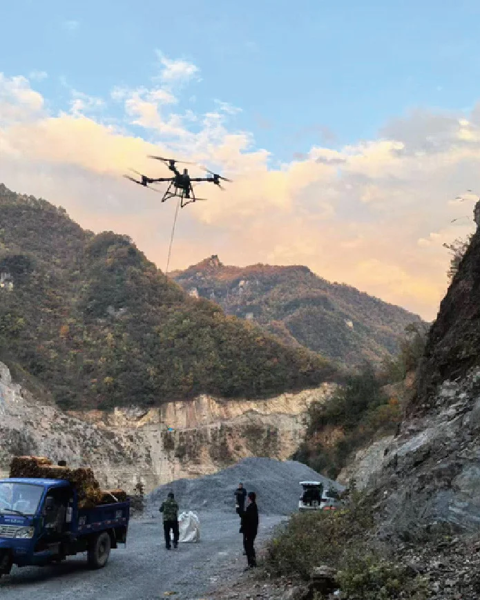
Construction site
Main risks: Violations of operating procedures · Construction not in accordance with design · Difficult to monitor environmental impact
What makes traditional patrols difficult: tight project schedules, inadequate safety supervision, numerous human-related interference factors, prone to missed inspections.
- Construction Site Daily Inspection—— Automated departure by week / by node
- Detection of regulatory violations—— Detection of scenarios such as not wearing a safety helmet or operating outside designated boundaries
- Model and drawing comparison—— Overlay comparison of real-scene models with design drawings
- Earthwork volume measurement and calculation—— Multi-temporal model calculation of excavation and fill volumes
- Perimeter and geological monitoring—— Monitor changes in foundation pit slopes and surrounding environment

Oil and gas production
Main risks: Flammable liquid/gas leaks are hard to prevent · Remote operational areas have high security risks · Accidents have significant environmental impact
What makes traditional patrols difficult: large operational areas and long pipeline distances make manual patrols time-consuming and labor-intensive; toxic gas leaks pose a direct risk to personnel.
- Operational area and station patrol—— Routine flight routes cover stations and tank farms
- Oil and gas pipeline patrol—— Flying along pipelines to detect third-party construction and encroachment.
- Tank farm modelling and contingency planning—— Advance modeling for scenario simulation and force deployment during incidents
- Leak monitoring—— Combining infrared and gas detection to determine the leak scope
- System integration monitoring—— Integration with existing safety production supervision systems
Disaster prevention: Natural disaster prevention and mitigation
The key to disaster prevention is replacing "periodic manual patrols" with "routinely conducted aerial patrols," and accumulating patrol results into comparable data.
| Disaster type | Difficulties of traditional work | What Can UAVs Do |
|---|---|---|
| Forest and grassland fires | Regular inspections along mountain roads; patrol workload is heavy and cycles are long, while lookout posts are often in remote locations with low observation efficiency. | Routine aerial patrol · Smoke/fire detection · Infrared temperature positioning · High-precision digital model · Information annotation · Multi-drone coordinated response |
| Flood disaster | Numerous hazardous works sections and vulnerable links require 24-hour continuous systematic patrols, which easily lead to fatigue and omissions; seepage, piping, landslides, and other phenomena lack technical monitoring means, and patrol effectiveness at night and in rain is poor. | Digitized water-area products · Urban terrain analysis · Water-conservancy facility inspection · Non-contact flow measurement · Post-disaster emergency command · Emergency plan preparation |
| Geological hazards | Low efficiency and high risk of manual observation; low coverage of video monitoring equipment; difficulty coordinating different methods, scattered data | Risk point identification · Regular aerial patrols · Multi-period data comparison · High-precision digital models · Rescue drills · Post-disaster rescue command |
Contingency plan: Procedure for developing grassroots emergency response plans
This is the section we have refined most thoroughly, and it is also the most common gap buyers face after purchasing the equipment — having aircraft, but lacking actionable contingency plans.
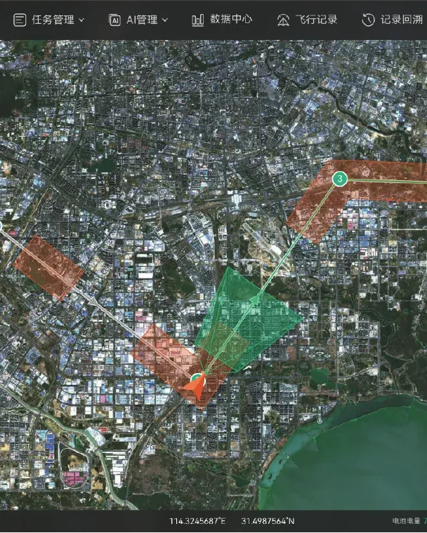
Four-step compilation process
To sustain continuous operations, three things are needed: distributed deployment and remote control (docking stations deployed in a grid pattern, integrated into a unified platform); centralized management with tiered resource sharing (contingency plans developed and personnel trained centrally, establishing a tiered system); routine inspections with refined contingency plans (routine inspections conducted per plan, periodic updates to base maps and annotations).
- Geographic information collection—— Collect imagery of the jurisdiction area and 3D data of key zones using orthophotography, oblique photography or low-altitude close-range photography
- Data processing—— Generate 2D orthophoto and 3D reality models for terrain analysis, coordinate marking and annotation
- Risk assessment—— Identification of risk points and changes related to production accidents and natural disasters, assessment of risk probability and trends
- Pre-plan update—— Periodically repeat the above work, refreshing the contingency plan with new survey results, rather than completing it and storing it in a cabinet.
What should be in the plan and how to use it
An emergency plan is not a document that is written and then locked in a cabinet; it must be openable on a map and executable with one click.
Six items required in the contingency plan
- Basic profile of the jurisdiction
- Risk point marking
- Emergency response team roster
- Equipment and supplies location
- Information on key populations requiring protection
- Emergency rescue and evacuation routes
These six items are derived from practical drafting experience; omitting any one of them will cause the contingency plan to stall during a disaster.
Three categories of one-click-executable flight routes
- Emergency modeling — performed immediately after a disaster; models the scene and compares it with the original model to assess damage
- Loudhailer evacuation — flying to remote, scattered settlements, observing evacuation status, and assisting notification via acoustic and optical payloads
- Supply Delivery —— Precision delivery of materials at pre-planned locations per emergency plan
Flight routes are the operational form of contingency plans: prepared in advance, with one-key takeoff at the time of a disaster, eliminating the need for real-time operation.
Compliance, data and system integration
Emergency management and workplace safety regulatory bodies are highly sensitive to compliance, data security, and system integration capability. Mapped point by point:
| Dimensions of focus | Proposal Response |
|---|---|
| Data security | Supports local data storage and encrypted transmission; specific deployment configuration is determined by the customer's data sovereignty requirements |
| Open integration | Supports API / SDK integration with customer's existing CAD, GIS, safety production supervision and command dispatch systems |
| Payload compatibility | Beyond the existing payload ecosystem, third-party custom payloads can be expanded on demand |
| Training and Delivery | Training and delivery methods are subject to separate agreement per project. |
| Modular procurement | Phased procurement: platform → payload → hangar → command station, reducing the barrier to a single purchase decision |
Frequently Asked Questions
What kinds of venues does the system cover?
Four categories are covered: mines, industrial parks, construction sites and oil and gas facilities. Their regulatory focus differs, but they share the same problem — large area, remote location, and manual patrols that cannot cover everything.
What are the four positions in the architecture?
FPV reconnaissance UAV, S220, TS100 cargo UAV and the K03 automatic charging hangar. Different tasks only require changing the platform and payload, so there is no need to build a separate system for each type of operation.
What should a contingency plan actually contain?
Six required items, plus three categories of flight routes that can be executed with one click. A plan that is written and then locked in a cabinet is not usable — it has to be openable on a map and executable on demand.
How does disaster prevention differ from daily inspection?
The core change is replacing periodic manual patrols with routine aerial patrols, and accumulating each patrol’s results into data that can be compared over time. The value comes from the comparison across patrols, not from any single flight.